Recces across Chalkapur and Mylar to begin mapping StepWells

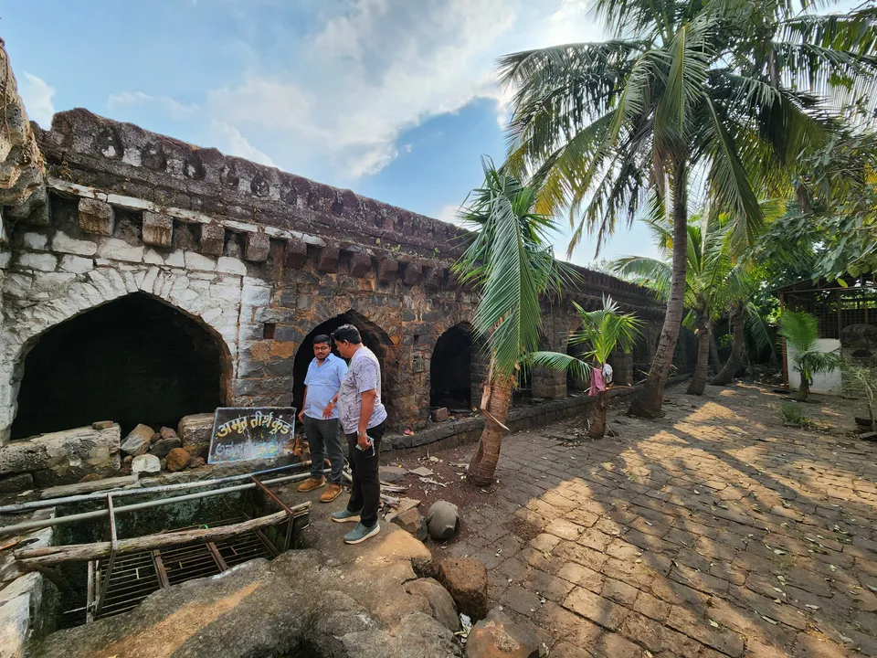
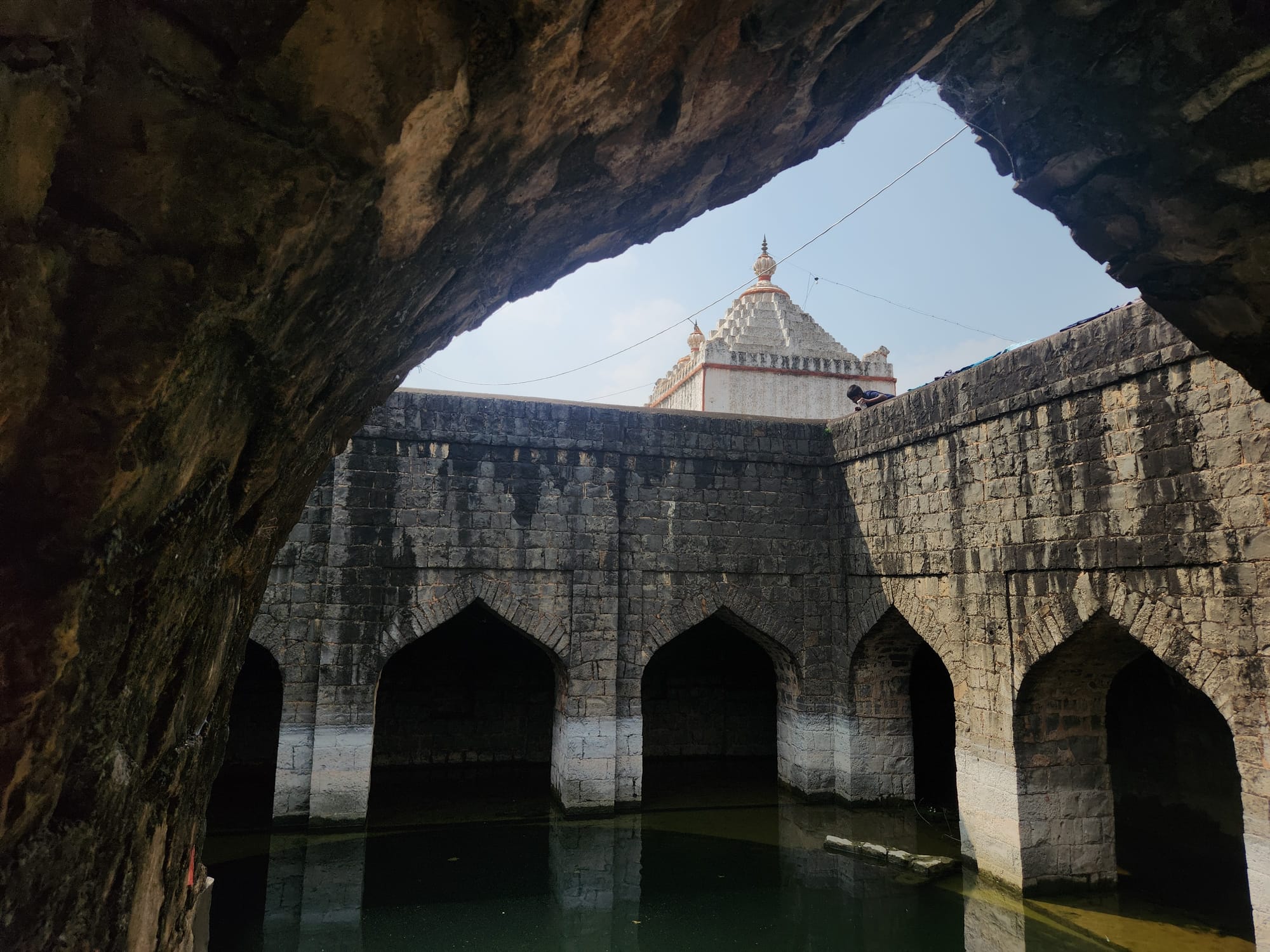
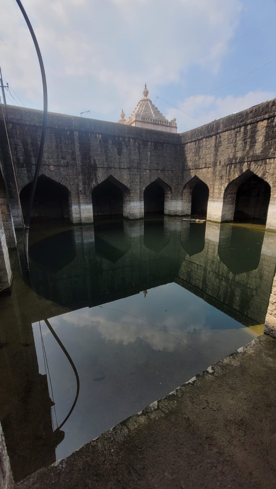
We visited Chalkapur (1 stepwell) and the Mylar (3) stepwells today to understand the processes that we will need to plan for before we begin coordinated efforts on Nov 9. we've noted 4 categories to create the mapping survey form over:


From the gallery of the Chalkapur Stepwell
- physical structure, conditions, materials, shapes, measurements - landuse: landuse around, economic activities, usage of the well etc - biodiversity: time spaced observations of the water surface, photographs and nearby conditions - water: water level, physical conditions - interviews with neighbours regarding all of the above.
Technical possibilities for all of these will be figured out soon (must be a Qfield form which will allow photos)
Previously: TeamYUVAA has extensively engaged with identifying, cleaning and maintaining many step-wells in the region. They have not been digitally documented or geolocated to maintain a database of wells. This recce is to plan for the first phase of the Stepwells mapping project — where we will locate stepwells along with volunteers and document their conditions.
