Beginning to map the Bidar Fort's vastness - Moats, Palaces, Settlements

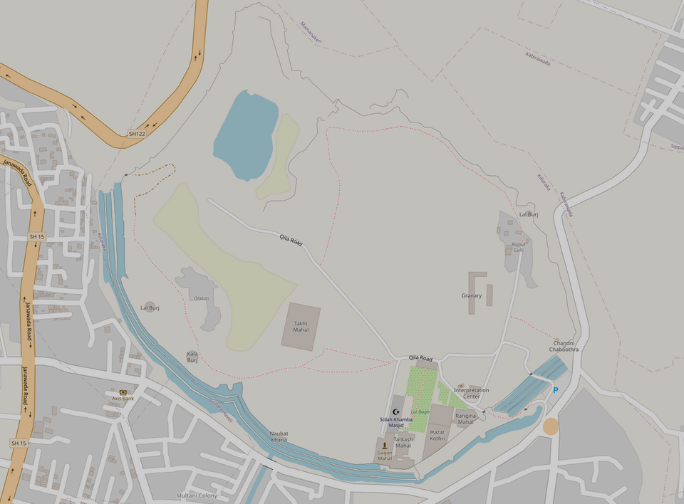
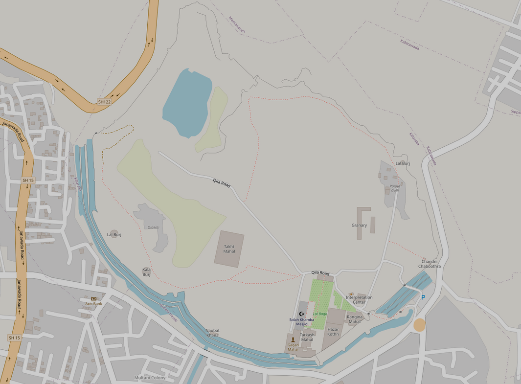
I began the complex process of mapping the Bidar Fort area (Qila Arq or Royal Enclave) on OpenStreetMap, see here:https://www.openstreetmap.org/#map=17/17.921437/77.525808. There are multiple dynasties that have built and added to the same complex, so it is difficult to map and document the time period of each palace/structure. So for now, I've mapped the fortification boundaries (across dynasties seemingly, so it is not a singular boundary), and the palaces with the help of Shreyas, Vinay and Harsha who have extensively worked in many different ways in the fort. I also mapped the triple moat, which is on the southern side of the primary fortification. The northern side is a steep 30mtr drop, also the edge of the Bidar city's plateau.


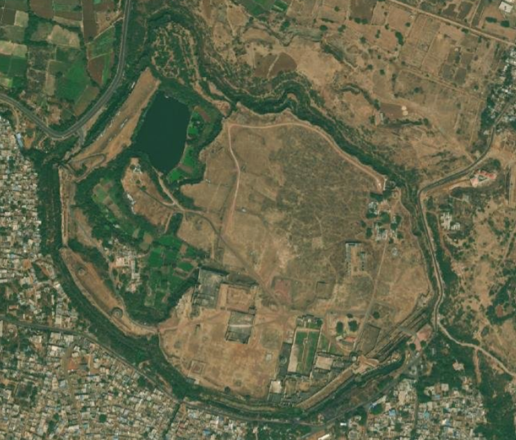
A comparative display of the fort area through Satellite Imagery (1) and the effort at mapping on OpenStreetMap on (2)
Going forward the Fortification has to be segregated by time period, and its thickness drawn as polygons to represent it better. We will continue to map the remaining structures such as the gates, batteries (burj), ruins, settlements, farm (boundaries), bawdi, open wells, pathways, trees, biogeographic features and so on. Some structures need better tagging for them to be represented better on OSM. This satellite imagery appears to be much older and showcases dry land. It is currently filled with shrubs and grasslands that also need to be mapped as land cover.
OSM, or OpenStreetMap is like Wikipedia, but in the form of maps. Contributors all over the world contribute their time to map settlements, roads, buildings, infrastructure of many many kinds. At the Participatory Geo Spatial Lab (PGSL), we contribute to and use OpenStreetMap extensively.
Reference
Ghulam, Yazdani. Bidar History and Monuments. Munshiram Publications, 1928.
Sridhar, Sanjay, Bakul Jani, Shreyas Srivatsa, Vivek Chandran, Akshatha Naik, Samhita BS, Vaishnavi Shankar, Shyam Chandran, and Soujanya MV. “Historic Fort of Bidar - A Documentation Report.” Ahmadabad: Centre for Conservation Studies - CEPT University, 2010.
