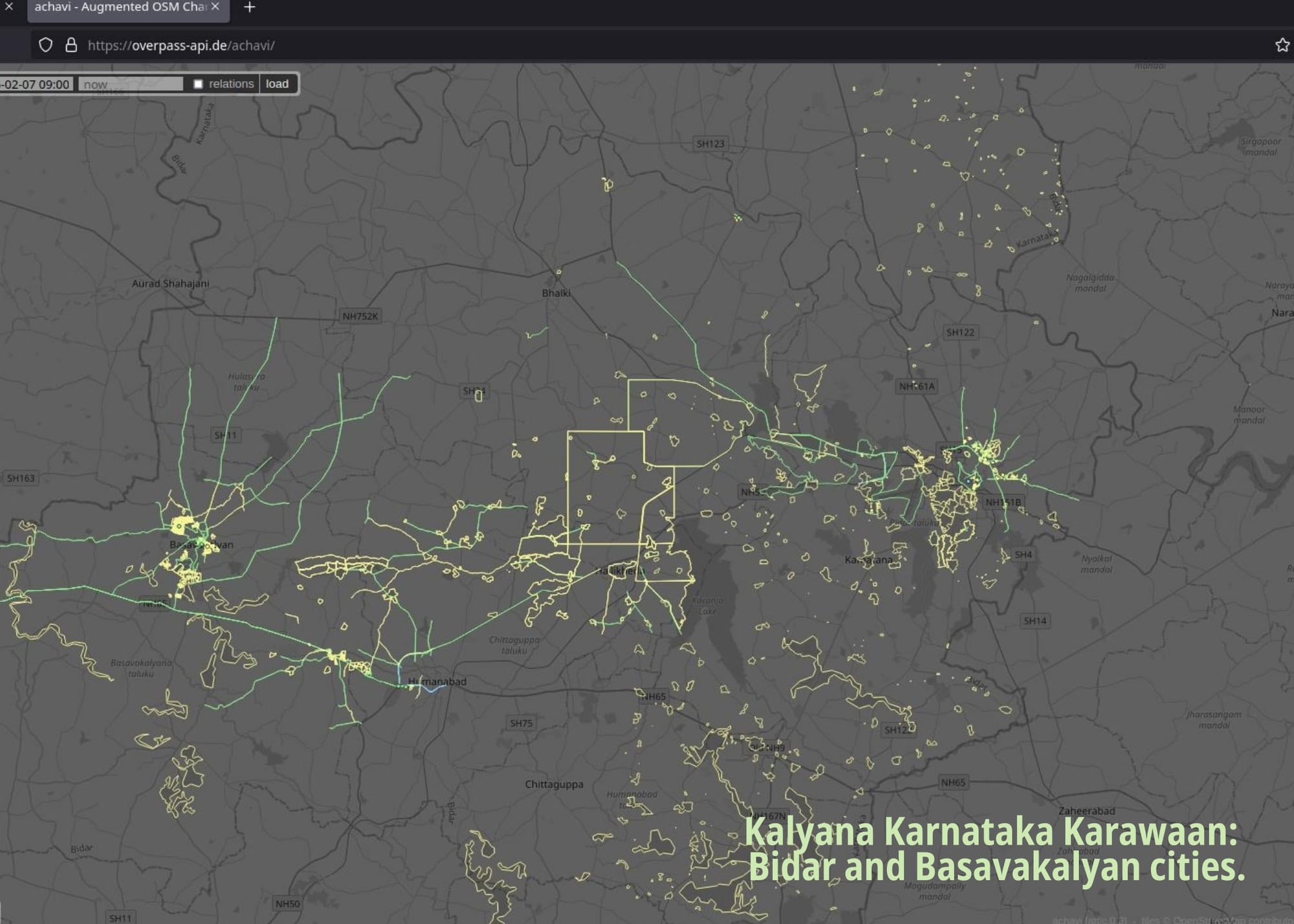
Kalyana Karnataka Karawaan
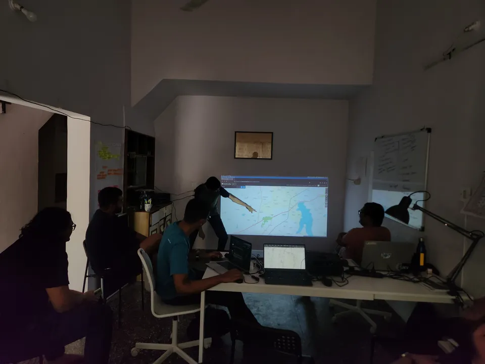
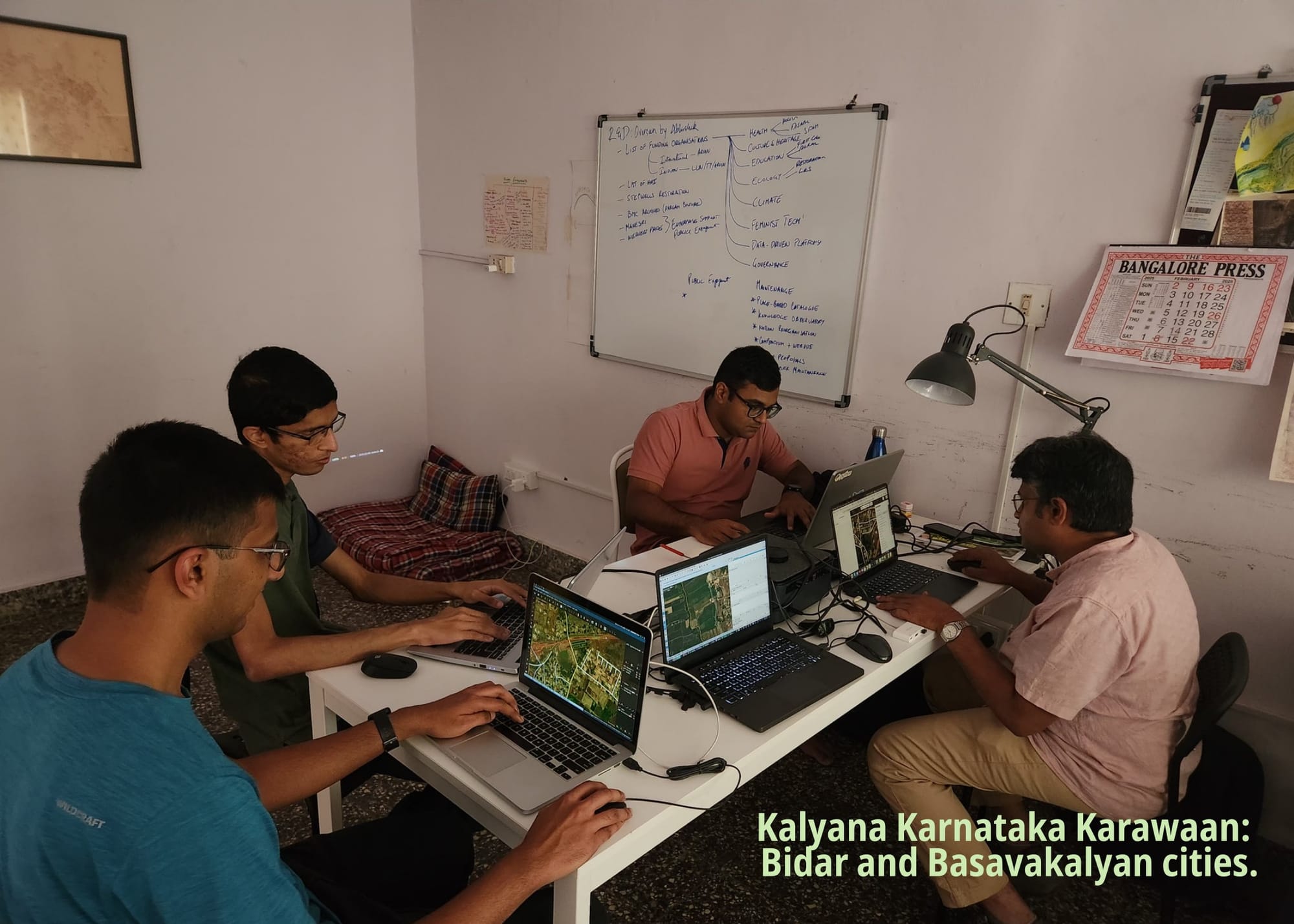
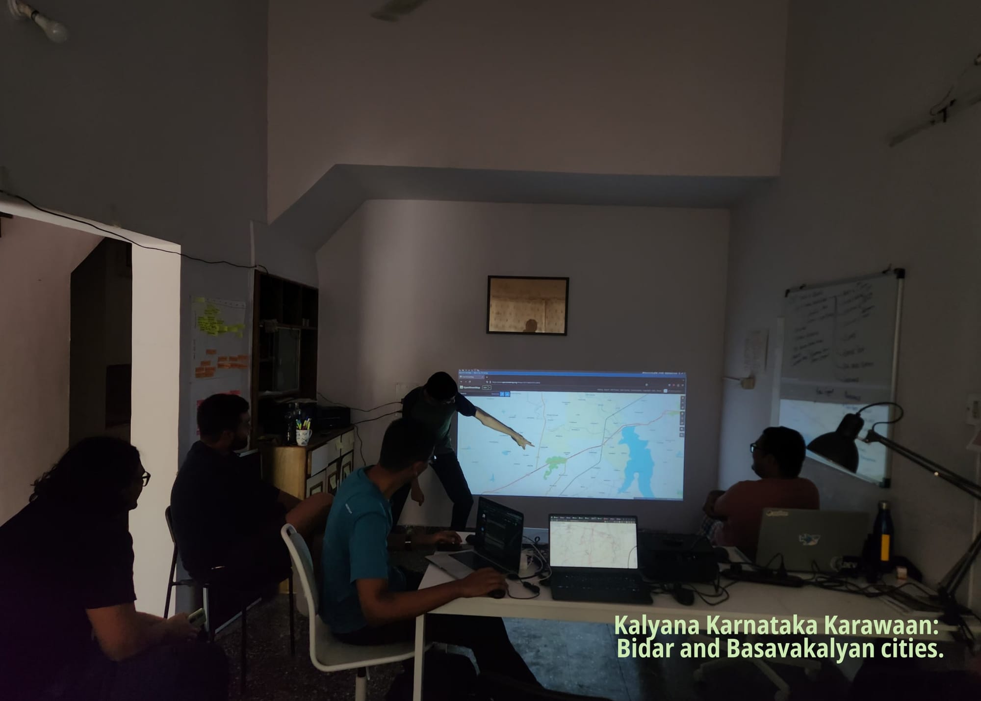
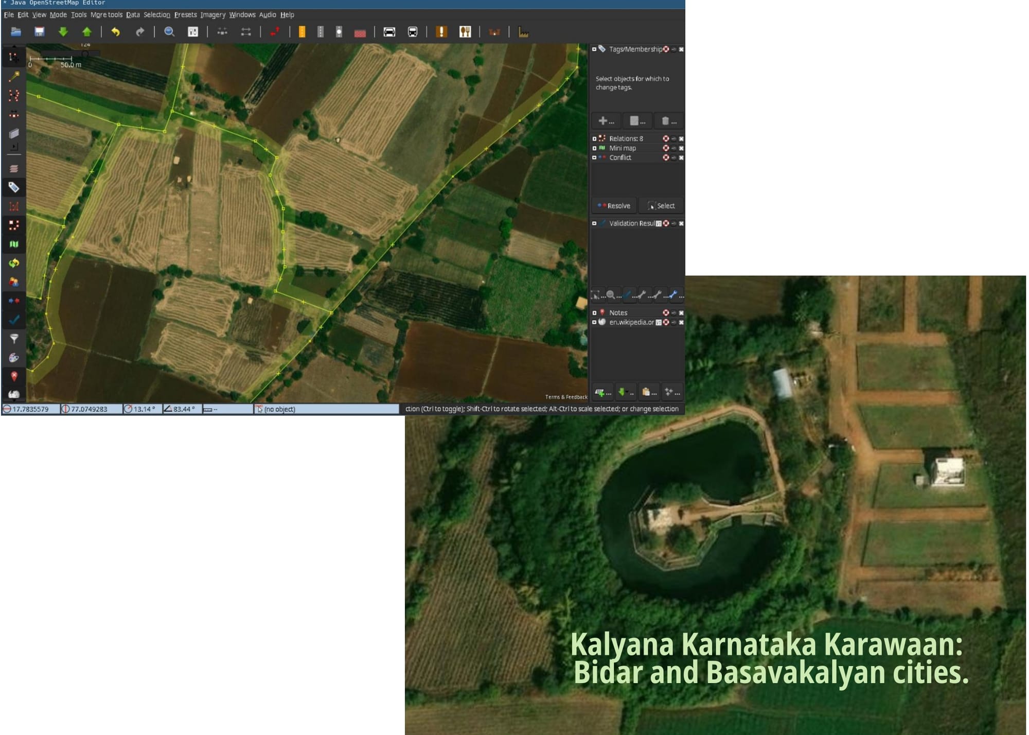
On Saturday, we brought together a bunch of people interested in contributing to map data for Bidar district in Karnataka, introduced the region, and the tools necessary to map. It was a mapping 'party' for a reason, people had fun, learnt new ways of being curious about the place! What are these crop patterns? What vegetation is this? What is scrub land? What are grasslands? What do seasonal drains look like?
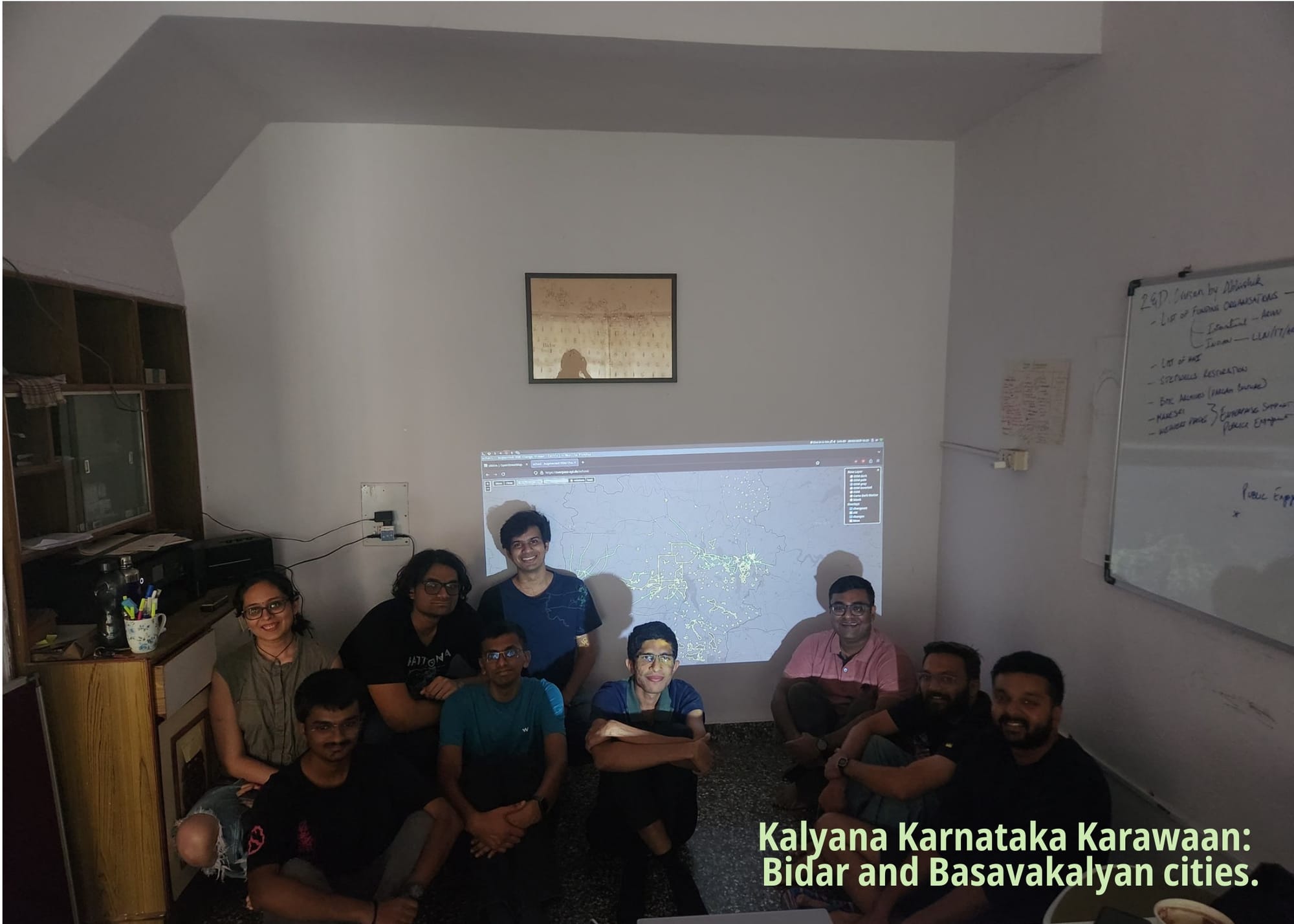
We look forward to making Bidar and KK as complex and beautiful as they are in real life on maps as well. This series will continue to host more focussed mapping events. Watch this space for more! ✨